Kyoto
Japan,

World Map
Many orange, closely-spaced gates form an archway along a path.
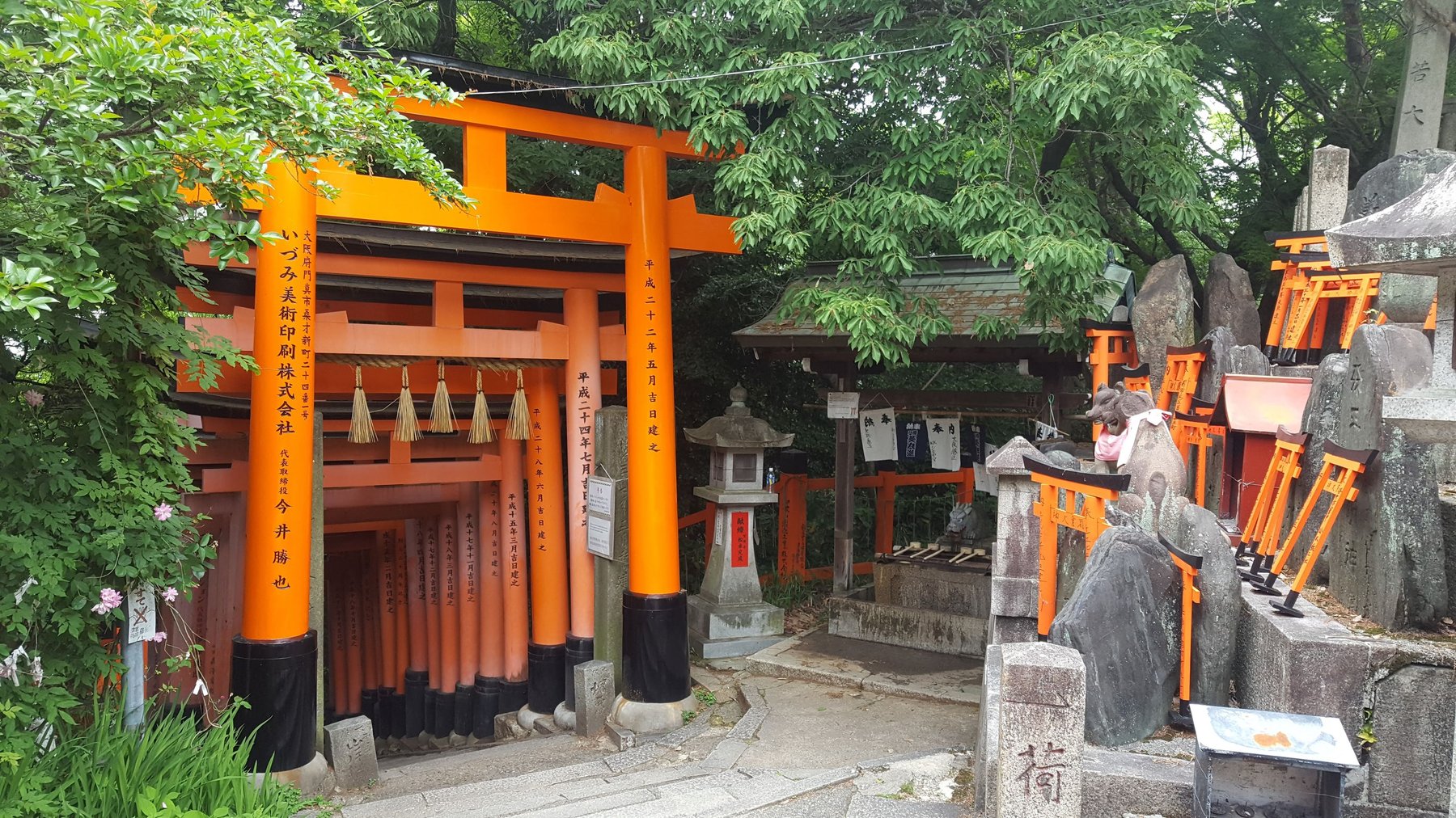
A path up Mt. Inari. The vermilion gates that frame the paths up the mountain are said to number over 10,000.
View on map
Stone steps lead up to a single, decorative, orange gate.
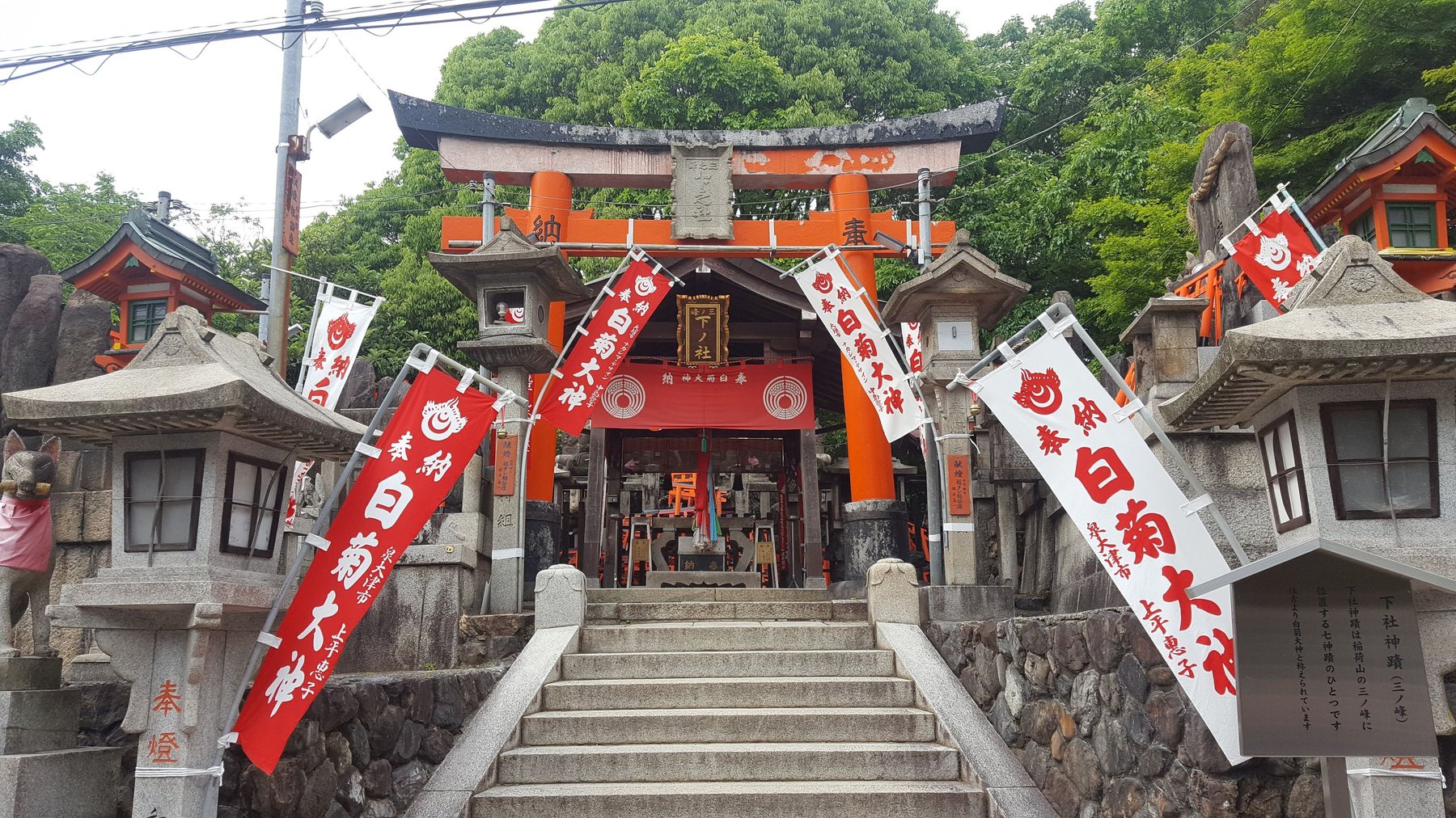
A Shinto shrine, Mt. Inari.
View on map
A small footbridge through a wooded area, with a orange, decorative gate at the end.
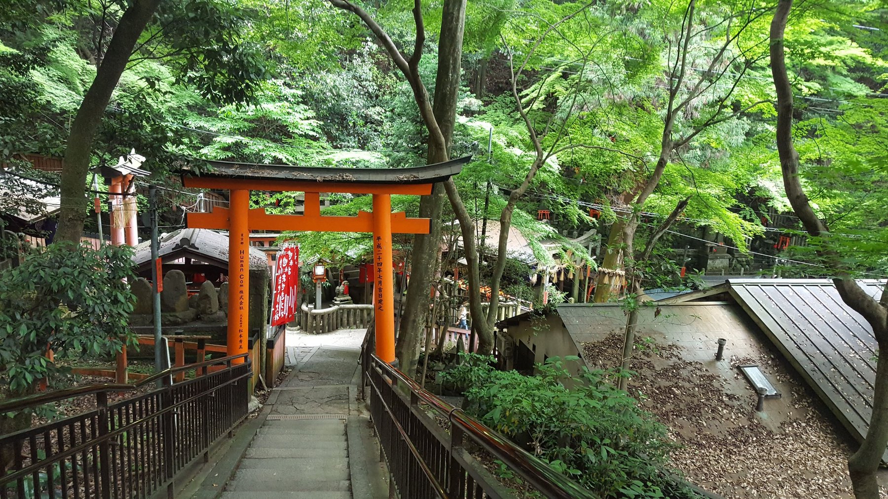
A bridge on the path up Mt. Inari.
View on map
Steps leading up to a vibrant Japanese shrine, surrounded by tourists.
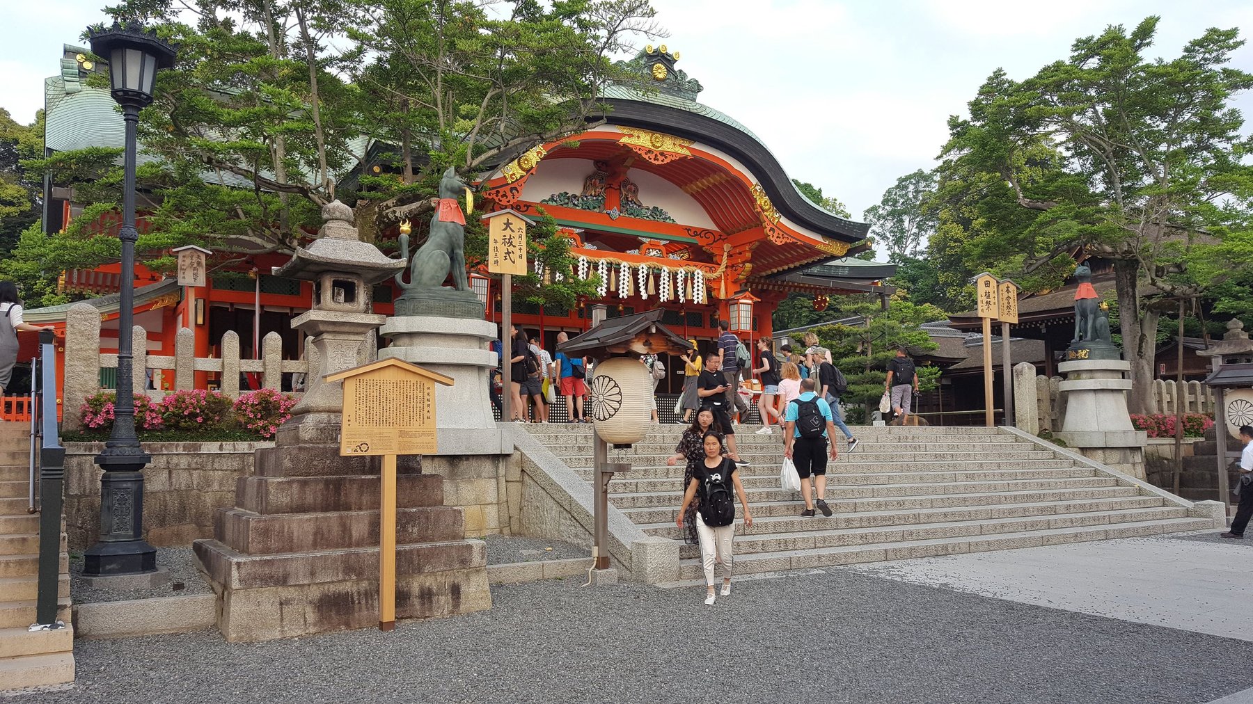
Fushimi Inari Taisha—the main Shinto shrine that sits at the base of Mt. Inari.
View on map
A wet road at night reflects the lights of cars and the surrounding buildings. A bright tower in the distance dominates the skyline.
Kyoto Tower.
View on map
Tourists, and women in traditional Japanese clothing, walking down a cozy street in the evening. The street is lined with small restaurants and lanterns.
An alley in Gion.
View on map
A long, wide, outdoor flight of stairs is lit up with thousands of coloured lights. The lights create an image of cartoon characters.
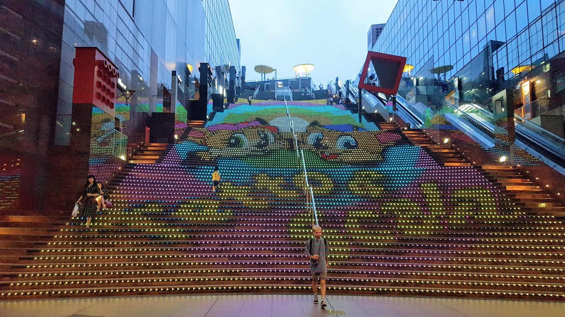
The steps at Kyoto Station act as a giant screen, with moving cartoon characters and music.
View on map