OnomichiJapan,
Japan,
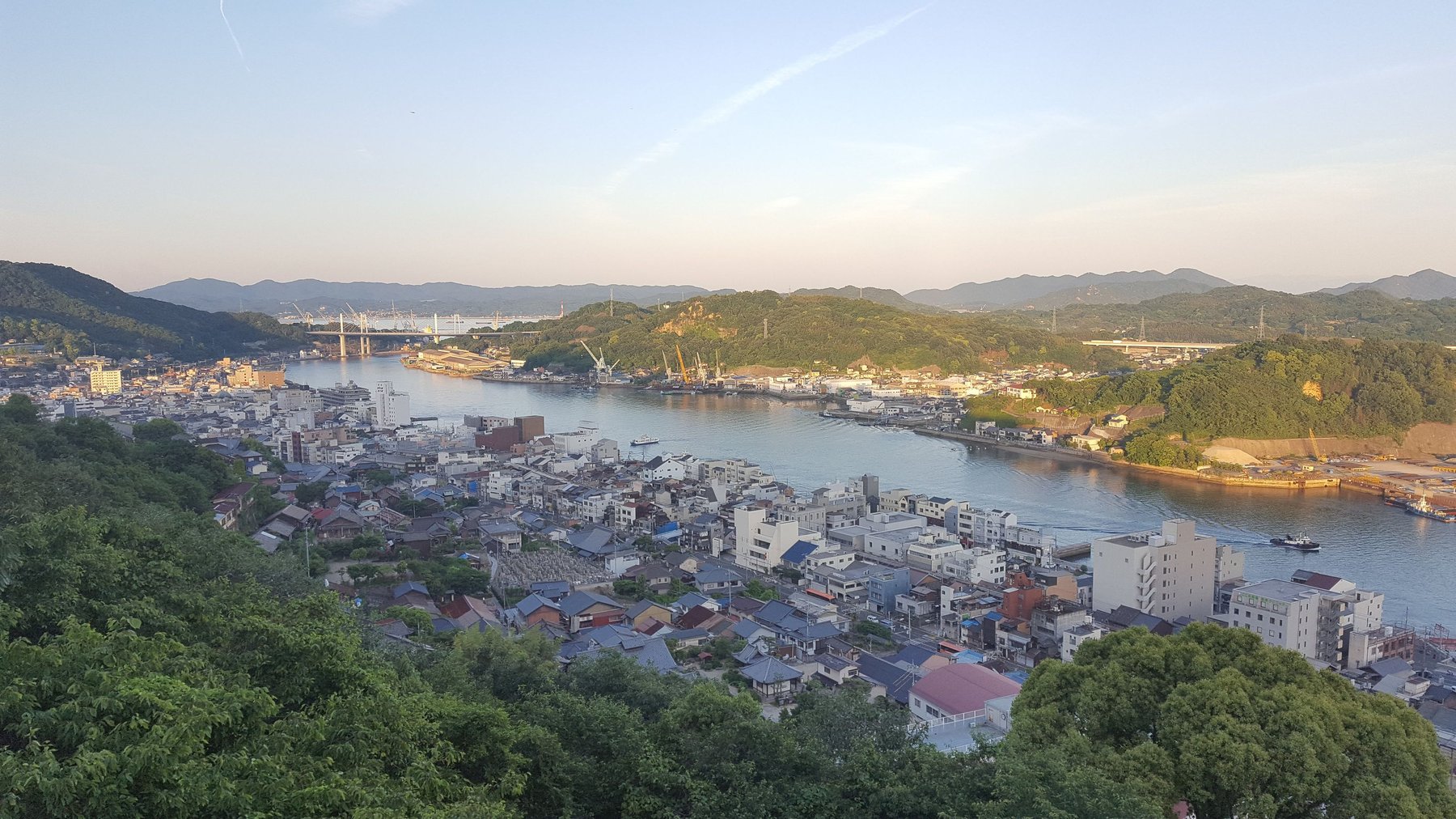
Hotel view of Onomichi.
View on map 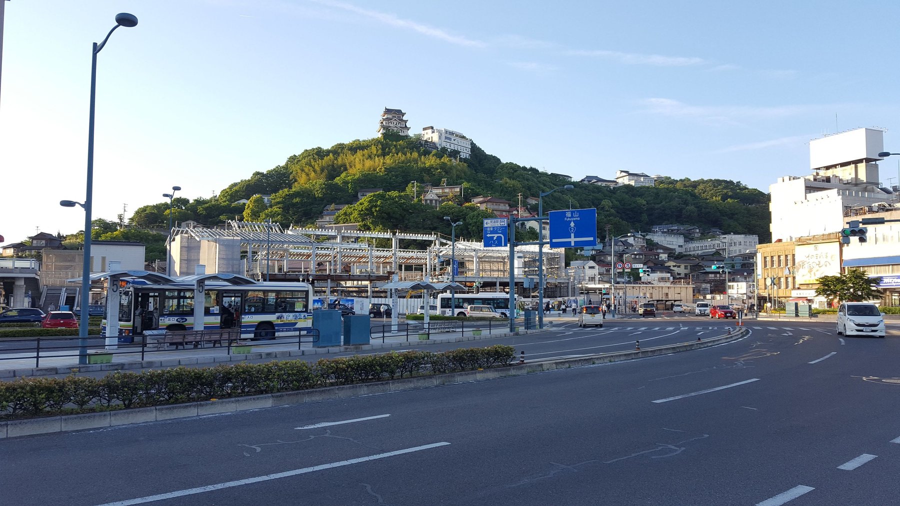
The walk to the hilltop hotel with luggage in 30°C heat was interesting.
View on map 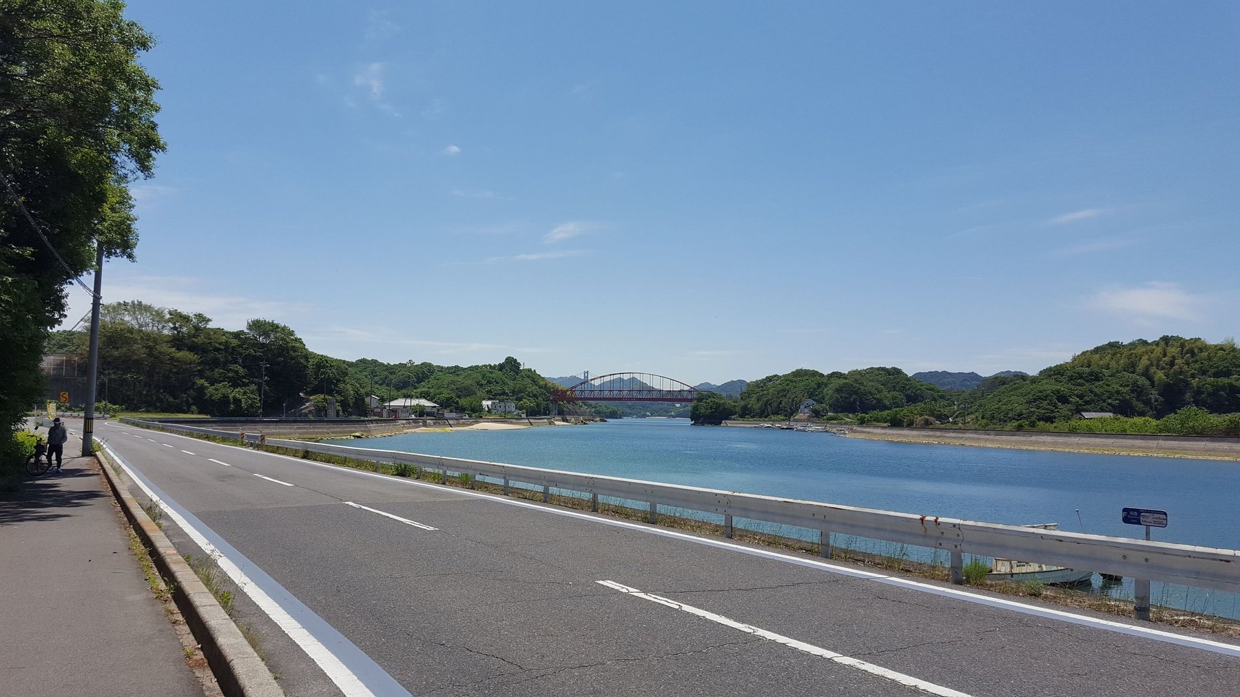
Mukoujima Island, the first of seven islands that make up a 70KM bike trail.
View on map 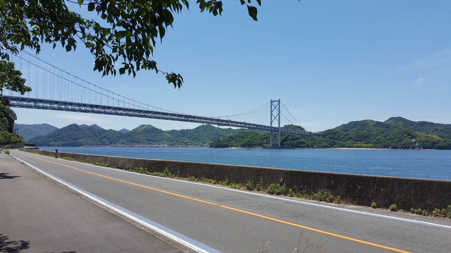
Innoshimao Bridge, leading to the second island in the trail.
View on map 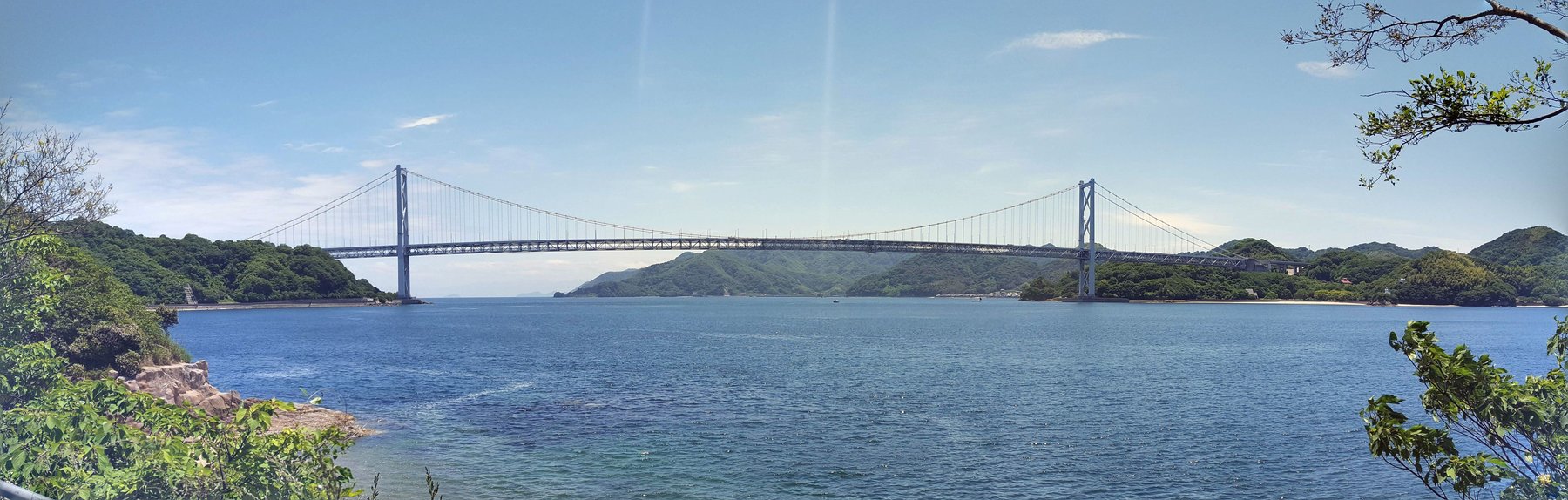
Another picture of the bridge will have to do, because we didn’t get much further. Turns out 70KM through mountains in the heat is harder than it sounds. Thank god for the ferry.
View on map